Action disabled: source
Table of Contents
Tools
")  ) ) |
HgIS applies BI tools (Pentaho platform) and GIS for the groundwater domain. Technologies and tools used in HgIS are listed here.

Since Hitachi acquired Pentaho, the development of the Pentaho platform has stagnated, and the platform's website is confusing. The original author of PDI (Matt Casters) created Apache Hop, a fork of PDI that finally has elegant architecture and is being intensively developed. PDI transformations can be imported into it.
![]()
Pentaho platform
Pentaho platform is a set of business intelligence tools.

It contains the following components (download):
- Pentaho Data Integration (PDI, also known as Kettle)1) It is an ETL tool. It can read data from diverse databases, resources (e-mail, local computer, FTP, HTTP), and files (MS Excel, MS Access, CSV, TXT, ESRI SHP, XML, JSON, YAML, RSS, XBase, or ZIP). Official resource lists all steps of transformations and jobs. Geospatial data can be handled with PDI GIS Plugins. See more info in Pentaho Data Integration Cheat Sheet.
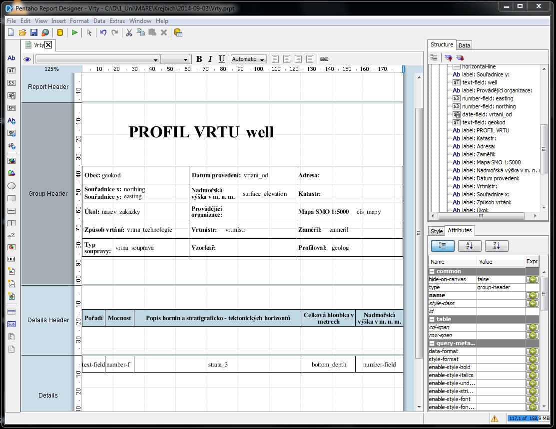
- Pentaho Report Designer (screenshot).
 Development of Pentaho Reporting does not move forward, so it makes sense to use an alternative as Metabase – easy-to-use data analytics. FOSS alternatives in Python are Superset or even Redash.
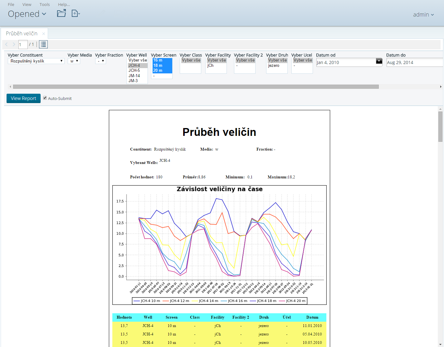
- Pentaho Server (PBA, formerly BI Server, screenshot) is a key component of the platform. Dashboards can be executed here. Dashboards can be designed by CDE – more: Community Tools (CTools).
Machine Intelligence utilizes engines: R, Python, Weka, or Deeplearning4j (Java with GPU Nvidia).
Adaptive Execution Layer (AEL) runs transformations not only locally or on the Pentaho Server, but also on Spark. Pentaho also supports cloud platforms like Amazon Web Services, Google Cloud Platform, or Microsoft Azure (Cloud agnostic analytic pipeline). Alternative to AEL is Apache Beam.
Pentaho platform is built on
- Java – programming language
- Apache Tomcat – web server
- JDBC – API for access to relational databases
- Jackrabbit: implementation of the Content repository API for Java
- Common Warehouse Metamodel – used in Pentaho Metadata – specification
PostgreSQL / PostGIS
- PostgreSQL is a database server we use. (PostgreSQL).
Other GIS tools
- QGIS – desktop GIS
- QGIS Server – map server
For detailed information, go to the Czech version of this site.
1)
Acronym means: Kettle Extraction, Transformation, Transportation and Loading Environment.
2)
"EarthSoft will release new versions of the desktop EnviroInsite in EQuIS Professional, but does not currently plan to release new versions of non-EQuIS versions of EnviroInsite."
3)
The AkvaGIS tools enhance FREEWAT with hydrochemical and hydrogeological data processing and analysis.
Last modified: 2024-03-21